
Archive Record
Images
Image 1 of 2
 State Highway department's Official Automobile Road Map of the State of Ore
State Highway department's Official Automobile Road Map of the State of Ore
Metadata
Title |
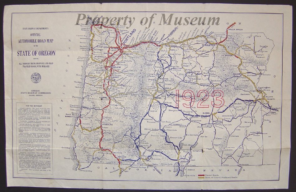
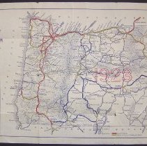
State Highway department's Official Automobile Road Map of the State of Oregon Showing All Through Trunk Highways and Main Traveled Roads, With Mileages |
Collection |
PastPerfect Museum Maps Collection |
Catalog Number |
1999.1.16 |
Object Name |
Map |
Level of Description |
Item |
Scope & Content |
Official Automobile Road Map of the State of Oregon was published in 1923 and shows all through trunk highways and main traveled roads, with mileages. The map's key shows that paved roads are in red and rock or gravel surfaced roads are in yellow. The year 1923 appears in the center of the map in red outlined letters 1 1/4" in height. |
Copyrights |
Copyrights remain with the Oregon State Highway Commission |